Past, Present, and Future of Alpine Biomes Worldwide (PPF-Alpine)
The purpose of PPF-Alpine is to elucidate the Quaternary history (last 2.6 million years) of the alpine biome, based on the notion that their dynamic past may hold key insights for their future resilience. Hence, looking into the past can provide the empirical foundation for anticipating ecological responses to global warming and perhaps provide evidence for a more optimistic future.
To decipher the biogeographical history of the alpine biome, we assess the spatial patterns of present-day alpine biodiversity and develop spatial tools to reconstruct the spatial distribution of the alpine biome through time. Financed by Trond Mohn Research Foundation – UIB (Norway)
GLACIMONTIS
GLACIMONTIS is an ongoing research project dedicated to understanding the extent of mountain glaciers during past cold periods, with a focus on the Last Glacial Maximum (~21,000 years ago) and the last glacial cycle (the last 130,000 years). The project reconstructs glaciers in mountains worldwide with cutting edge techniques and compiles paleoglacier reconstructions from published studies into a global open-access geodatabase, integrating geomorphological mapping, chronological data, and glacier modelling outputs. This resource allows researchers to analyse past ice cover at regional to global scales, refine climate and glacier models, and assess the role of glaciation in shaping mountain environments. Beyond compiling existing data, GLACIMONTIS also develops new reconstructions in poorly studied regions, advancing our understanding of past cryosphere–climate interactions. Financed by Trond Mohn Research Foundation – UIB (Norway)
CONNECT-EVOLVE
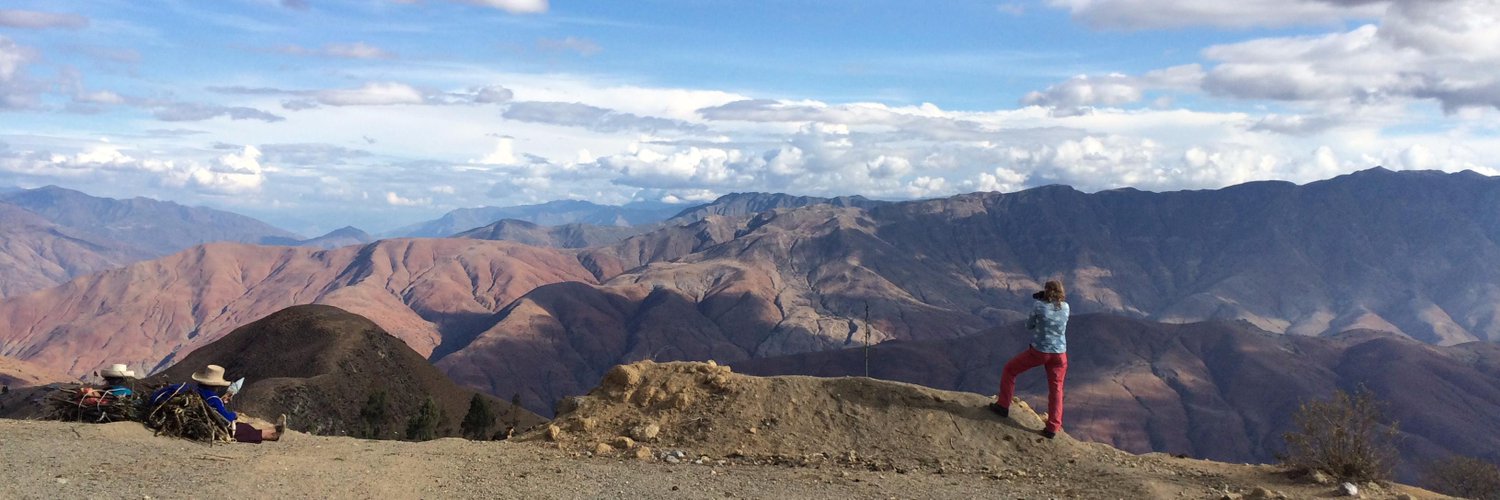
The páramo, a unique high-altitude ecosystem in the northern Andes, is home to some of the most diverse and rapidly evolving plant communities in the world. Our project investigates how past climate change and landscape connectivity have shaped the extraordinary biodiversity found here today. By combining expertise in ecology, evolutionary biology, and climate science, and using innovative modelling approaches alongside comprehensive plant datasets and their evolutionary trajectories, we aim to uncover the historical processes that drive species diversity in tropical mountain systems. The insights gained will not only help safeguard the páramo flora but also provide valuable tools for conserving other vulnerable mountain ecosystems worldwide. Financed by Czech Science Foundation (GACR). In collaboration with Charles University in Prague and Royal Botanical Garden Kew in London.
ECO-SPACE: Earth Observation and Geospatial Tools for Ecosystem and Environmental Management
ECO-SPACE is a project aimed to our students at BIO and UiB to address a critical gap in Norway’s higher education: the lack of geospatial training for biology and environmental science students that integrates Universal Design (UD) principles. This project aims to develop educational material that will combine GIS, Remote Sensing, and spatial analysis with ecological and environmental applications, ensuring that students learn to create accessible, inclusive, and impactful geospatial products. A module-based framework will be built from BIO research projects, stakeholder case studies, and collaborations with national and international partners. ECO-SPACE will also serve as a platform for collaboration—through workshops with UiB researchers, stakeholders, and industry—in geospatial analysis and build capacity in UD and geospatial methods. In the long term, the project will contribute to national and international efforts to promote inclusive geospatial education for ecology and environmental management. In collaboration with STEM EDUCATION RESEARCH CENTER (CERC). Financed by HK-DIR 2025.
GEO-BRIDGE: UiB collaborative platform for GIS/RS methods in landscape analysis in a changing world
Spatio-temporal analyses of landscape dynamics across the biosphere, geosphere, and cryosphere are crucial in tackling today’s global environmental challenges. From land use and cover changes to glacier retreat and vegetation shifts, Geographic Information Systems (GIS) and Remote Sensing (RS) offer essential tools for research and real-world problem-solving.
We organize monthly seminar series by researchers and students from diverse academic backgrounds united by a shared interest in GIS and RS. Our network currently brings together researchers from the UIB, spanning the Departments of Earth Science, Biology, Geography, Physics, and Archaeology—representing three faculties. We are also proud to have established a strong collaborative partnership with the Theoretical and Computational Ecology group at the University of Amsterdam (UvA), expanding our reach and impact across institutions. See more HERE. Financed by Bergen University Funds.
The Mini-Encyclopedia of the Páramos
An interdisciplinary team that comprises artists, science communicators, evolutionary biologists, and ecologists has crafted a scientific children’s book, “La Minienciclopedia del Páramo”. This book, distributed free thanks to local institutions, blends art and science to educate about the alpine ecosystem in the high-elevation areas of the Northern Andes, across Venezuela, Colombia, and Ecuador. “La Minienciclopedia del Páramo” aims to share scientific knowledge for young minds across seven main chapters: 1) What is the “Páramo”?, 2) Why is it important?, 3) How did the Páramo originate?, 4) The plants, 5) The animals of the Páramo, 6) The threats of the ecosystem, and 7) How can we protect it?
With financial support from Hugo de Vries Foundation in Amsterdam, we have distributed >1000s books this year and we are working on a translation to Dutch, English, and Norwegian. Read more HERE and HERE
Financed by Trond Mohn Research Foundation – UIB (Norway) and Hugo de Vries Foundation (Netherlands)

Other projects
Alpine ecosystems in motion: Tracking alpine shrub expansion and pollinator dynamics using fieldwork and drone-based remote sensing
This pilot project explores how climate-driven shrub expansion affects alpine biodiversity and ecosystem dynamics. Using drone-based remote sensing and fieldwork at Finse (Norway), we map the density and spatial distribution of male and female willow shrubs (Salix spp.) and link these patterns to bumblebee abundance and pollination dynamics. Led by Ørjan Totland (BIO-UiB) in collaboration with Suzette Flantua (BIO-UiB) and remote sensing researchers at the Dept of Earth Science (led by Ben Robson). See https://mountains-in-motion.github.io/drone-willow-bumblebee/ This project forms part of the Mountains in Motion Initiative, which investigates how mountain ecosystems respond to environmental change across spatial and temporal scales.
BIODYNAMICS project
This project aims to address the need for predicting biodiversity and ecosystem alteration under global climate change. By investigating local processes of species interactions, BIODYNAMICS will contribute crucial insights into how these interactions shape continental and global biodiversity patterns over the past 20 thousand years. BIODYNAMICS will develop innovative approaches that allow estimating ecosystem functioning, especially the essential biotic interactions, at 3 major ecological scales (spatial, temporal, and taxonomic), spanning from individual plants in local sites to whole continents and from 20 ka to the present. Workflows and approaches will be directly applicable to mountain research based on fossil pollen records across the late Quaternary. Led by Ondřej Mottl in collaboration with Suzette Flantua (BIO-UiB). See https://ondrejmottl.github.io/projects/BIODYNAMICS/